Contributions
A* pathfinding across a terrain grid
Procedurally generated worlds
Randomised start and destination
Impassable water and obstacles
Path length and state readout
Scales to large maps
Solving a Route
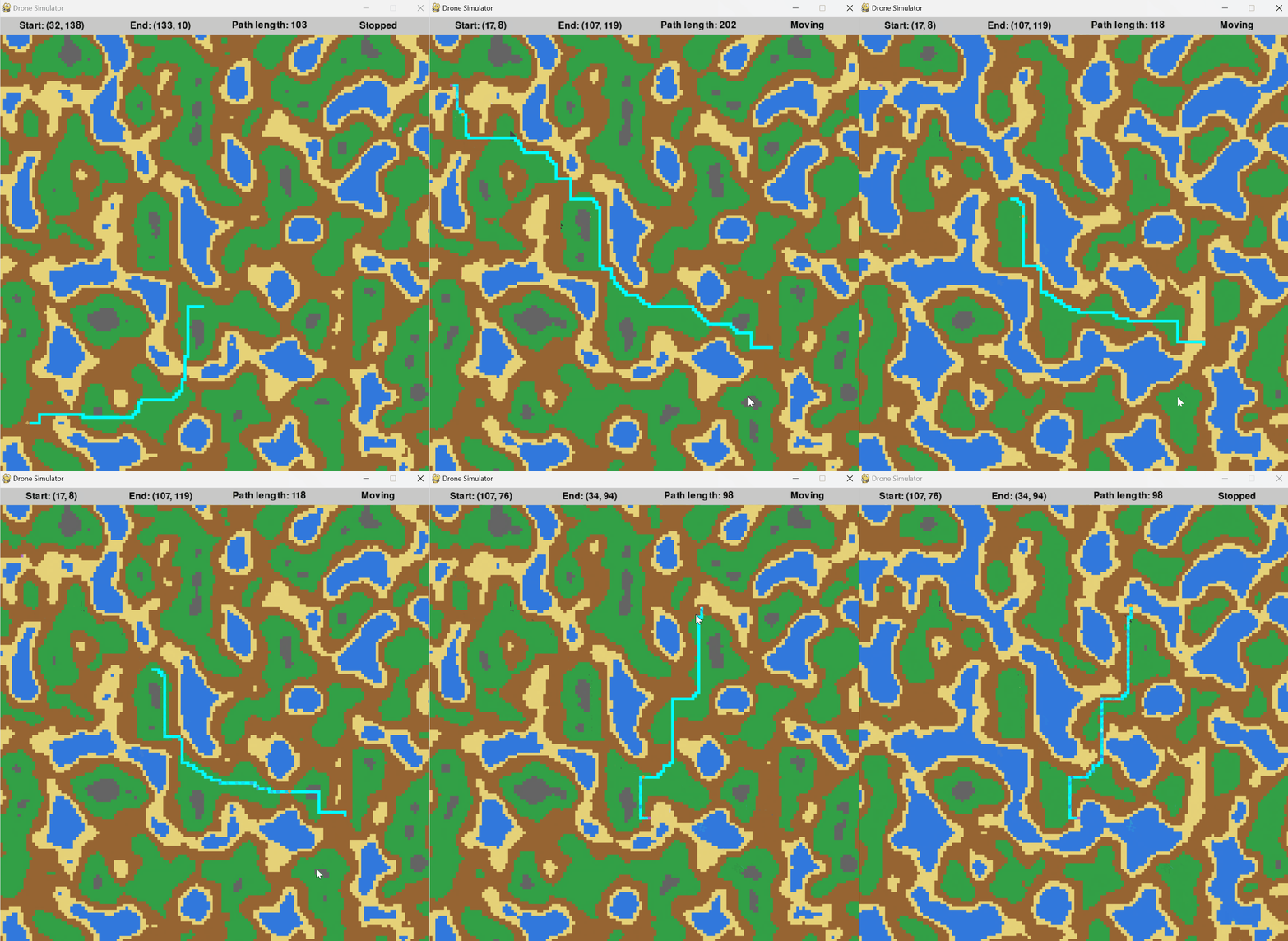
- A drone routes itself across generated terrain, with the solved path traced in cyan.
- Water and rock are impassable, so the route bends around lakes rather than crossing them.
- The status bar reports the start and end cells, the resulting path length, and whether the drone is moving or stopped.
Larger Worlds

- The same solver runs on much bigger maps — coordinates past 390 by 314, against roughly 130 on the smaller ones.
- Longer routes cost more to search, and the readout makes that visible: 352 steps against 103.
- Terrain and destinations are regenerated per run, so no two searches face the same map twice.
A drone part way along its solved route.
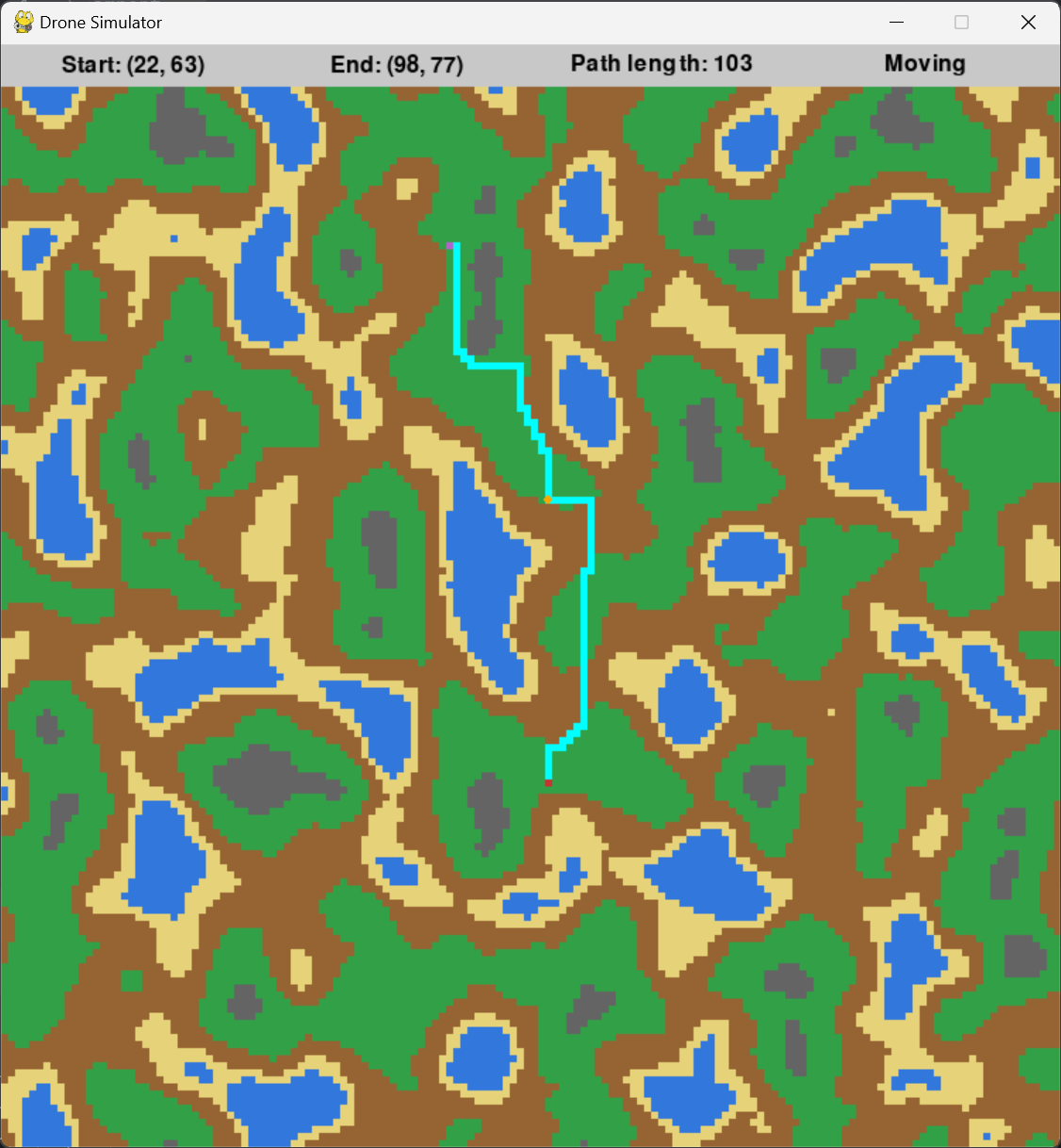
A 103 step route, bending around water on the way.
The same solver on a far larger map, 352 steps end to end.